Press Releases & News
| Press releases
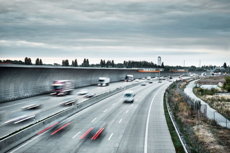
Starting immediately, passengers and people on their way to pick up others already known how long they will need to get to the airport before they actually drive there. The new journey time measurements enable travelers to calculate their travel time to the airport, and to plan an alternative route in case of traffic jams. In cooperation with the radio station Hitradio Ö3, the Federal Province of Lower Austria, and the national road network operating company ASFINAG, Vienna Airport now offers precise information on travelling to and from the airport on the A4 Eastern Motorway and the B9 country road. This information can be accessed online at www.viennaairport.com, www.asfinag.at, by looking at the traffic information signs on the airport premises and along the A4 highway or by listening to the Ö3 traffic information service.
Special cameras have been installed along the A4 Eastern Motorway and the B9 country road which register the license plates of vehicles at specified points and are thus capable of calculating the precise time required to drive between these two points. In this way, up-to-date travel times are shown for the section of the A4 highway between the Prater traffic junction and Vienna Airport, the Schwechat interchange and Vienna Airport (in both directions in each case) and on the B9 road between Schwechat Ost and Vienna Airport, between Bruck/Leitha and Vienna Airport (via the B10/B60 roads) and Hainburg/Danube Bridge and Vienna Airport.
Information can be accessed on the Internet, via Ö3 radio traffic information and variable message signs
The data is compiled on behalf of ASFINAG and Vienna Airport. The sites and infrastructure are made available by the federal province of Lower Austria (for the country road) and ASFINAG (for the highway). Information on journey time measurements is shown on the Website of Vienna Airport at www.viennaairport.com and the Website of ASFINAG at www.asfinag.at. At the same time, the data is continually conveyed to the traffic newsroom of the Ö3 radio station and on the variable message signs on the premises of Vienna Airport and along the A4 Eastern Motorway.
Vienna Airport is Austria’s largest commercial airport, handling more than 22.5 million passengers in the year 2014. Each day some 60,000 people depart from or arrive at Vienna Airport, and about 45,000 vehicle movements to the airport are registered. Numerous parking alternatives are available at Vienna Airport for people arriving in their cars. For example, a person booking a parking space online in advance can benefit from one of many different parking facilities. Further information is available at www.viennaairport.com/onlineparken.
Please address inquiries to the Press Office of Flughafen Wien AG
Peter Kleemann (+43-1-) 7007-23000
Clemens Schleinzer (+43-1-) 7007-22399
Stefanie Tomanek (+43-1-) 7007-26939
p.kleemann@viennaairport.com
c.schleinzer@viennaairport.com
s.tomanek@viennaairport.com
Website: www.viennaairport.com
 Download PDF deutsch